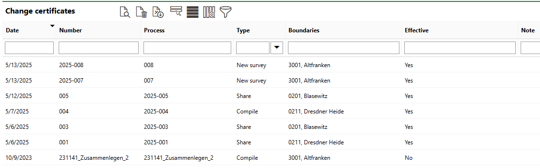
The Change Certificates page lists high-level changes that have been administered to land parcels in your database via parcel merge, split, and boundary adjustment.
Change Certificates Page
You can access the Change Certificates page from the VertiGIS FM Parcel dashboard by clicking Change Certificates under Operational Procedures.
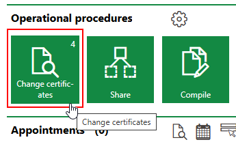
Link to Change Certificates Page
Each row in the Change Certificates table represents one of the following types of changes made to a land parcel, as indicated in the Type column.
Change Types
Change Type |
Description |
|---|---|
An existing land parcel is divided into two or more new land parcels. |
|
Parts of two or more land parcels are merged into one or more new land parcels. |
|
A land parcel's Area [m2] property is adjsuted because of boundary or lot line adjustment. |
Proof of Change
Double-click a change certificate in the table to see the full details of the split, compilation, or boundary adjustment.
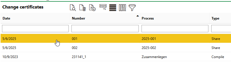
Change Certificates Table
This opens the change's Proof of Change page, which lists the change's details in full and shows a original and new land parcel areas.
Proof of Change Page
The data fields for a proof of change depending on the type of change.
Proof of Change Details - Split
Field |
Description |
|---|---|
Date |
The date the change certificate was started or made effective. |
Number |
A number or code used to identify the change certificate internally. |
Process |
A string used to track the split outlined in the change certificate. |
Boundaries |
The district in which the land parcel being split is located. |
Land Parcel |
The land parcel that was split. |
Area [m2] |
The updated area of the land parcel based on the split documented in the change certificate. |
Original area [m2] |
The area of the split land parcel before the split documented in the change certificate. |
Implement object adjustment |
A check box that, if selected, means that objects will be re-assigned based on the changes indicated in the change certificate after you click Save or Save and Close. |
Effective |
A check box that, if selected, means the changes made to the land parcels' core properties in the change certificate will be made in the database after you click Save or Save and Close. |
Proof of Change Details - Merge
Field |
Description |
|---|---|
Date |
The date the change certificate was started or made effective. |
Number |
A number or code used to identify the change certificate internally. |
Process |
A string used to track the merge outlined in the change certificate. |
Boundaries |
The district in which the land parcels being merged are located. |
Implement object adjustment |
A check box that, if selected, means that objects will be re-assigned based on the changes indicated in the change certificate after you click Save or Save and Close. |
Effective |
A check box that, if selected, means the changes made to the land parcels' core properties in the change certificate will be made in the database after you click Save or Save and Close. |
Proof of Change Details - New Survey
Field |
Description |
|---|---|
Date |
The date the change certificate was started or made effective. |
Number |
A number or code used to identify the change certificate internally. |
Process |
A string used to track the boundary adjustment outlined in the change certificate. |
Boundaries |
The district in which the adjusted land parcel is located. |
Land Parcel |
The land parcel whose area was adjusted. |
Original Area |
The previous area of the land parcel. |
Newly surveyed area |
The updated area of the land parcel based on the boundary adjustment. |
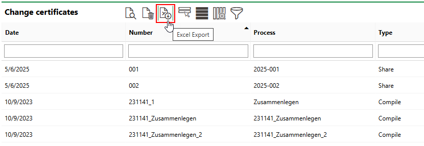
Export List
Click the Excel Export (![]() ) icon to export an .xls file listing the change certificates shown in the table.
) icon to export an .xls file listing the change certificates shown in the table.
Export Excel Icon
You can open the file that downloads in Microsoft Excel.
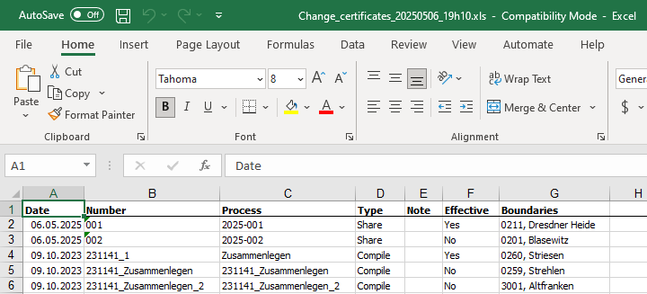
Exported Change Certificates List