Use Rotate Point to change the orientation of point feature symbols on the map. You can define a rotation angle manually or align a symbol parallel or perpendicular to an existing feature.
Rotate Point can only be used with point features. See Configure Rotate Point.
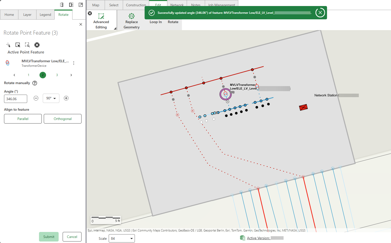
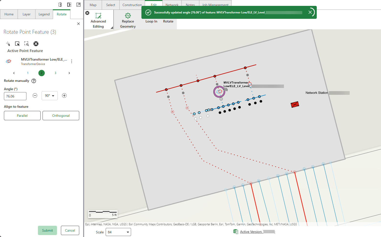
In our example in the procedure below, we rotate the point symbols representing terminals around a transformer in a network station so that each terminal aligns with its corresponding network line.
To rotate a point symbol:
1.Go to Edit > Advanced Editing > Rotate.
2.Select the network features to rotate. In our example, we rotate the terminals around a transformer in a network station.
3.Click the minus and plus signs to increase or decrease the value in the Angle box by 90 degrees, then click Submit. Alternatively, enter the desired angle in the Angle box and click Submit.
The selected point feature is rotated to the adjusted angle.
4.Click Parallel or Orthogonal to align the selected point feature to another point feature.
A message pops up to ask you to select another point feature to align to.
5.Click the point feature on the map you want to align the selected point feature to, then click Submit.
The selected point feature is aligned to the same angle of the chosen point feature from the map.