The Derived Map Editor allows you to open a map that serves as the Feature Source. For any feature selected in this map, a derived feature in the current active map can be maintained.
Open the Derived Map Editor from the Network Pro ribbon, located in the Mapping group and start with editing and maintenance of your derived map.
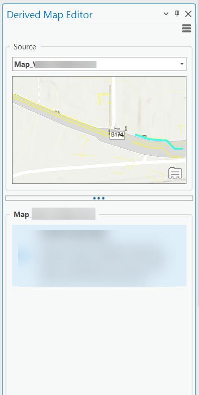
The source map must be opened as a map view document in ArcGIS Pro. Any map, that is opened as a map view document can be selected from the source dropdown box at the top of the editor.
Loading Selected Features
If a proper source map has been selected, the feature selection can be evaluated by clicking the Load Selection button at the right, below the source map. For every feature, that supports a relation at a derived map, and whose target layer can be identified in the current active map, a corresponding entry in the lower data grid is displayed.
Grid with Connected Features
At the lower side of the editor, all derived and derivable features, selected in the source map are listed. If there exists already a connection with the target map (which is always the active map), proper target information will be available. If a feature from source hasn't been derived and connected with a proper feature from the target map, that information will be empty.
The Grid provides the following actions at the toolbar, as well from the context menu
1.Flash, Zoom and Pan
Use this actions in order to highlight, zoom or pan to a feature in source map and in the target map. If the current target map, does not refer to a connected feature, the Zoom and Pan actions will simply navigate the target map to the current position (from the source map). This allows the user to create a proper target feature at the right position.
2.Derive
If the selected entry does not provide a proper feature representation in the current target map, the Derive action allows to create a feature in the target map, without any sketching.
3.Connect and Disconnect
If the selected entry does not provide a proper feature representation in the current target map, the Connect action allows to connect the feature currently selected in the target map, with the feature in source map, identified by the selected entry.
If a selected entry is already connected to a specific target feature, the Disconnect actions allows you to remove that connection.
Deriving a Map Feature
Depending on the the type geometry for source and target feature class, a proper geometry will be resolved.