Navigation: Functionality
Locates Grid Legend
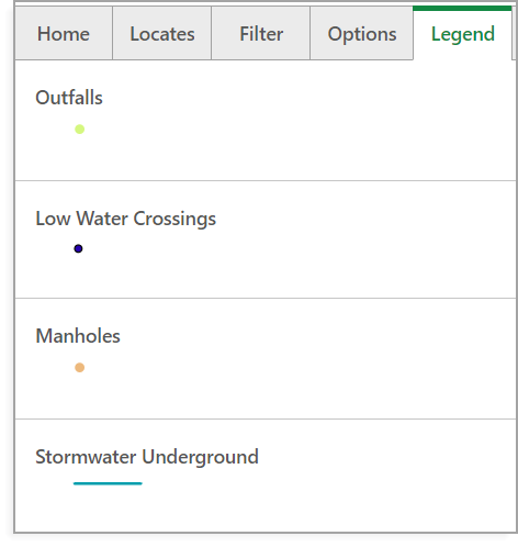
The Legend outlines the meanings of each colored dot and line you find in the map view, for example, when you see a blue line connecting two points on the map, that resembles the presence of a stormwater underground in that area.
Legend